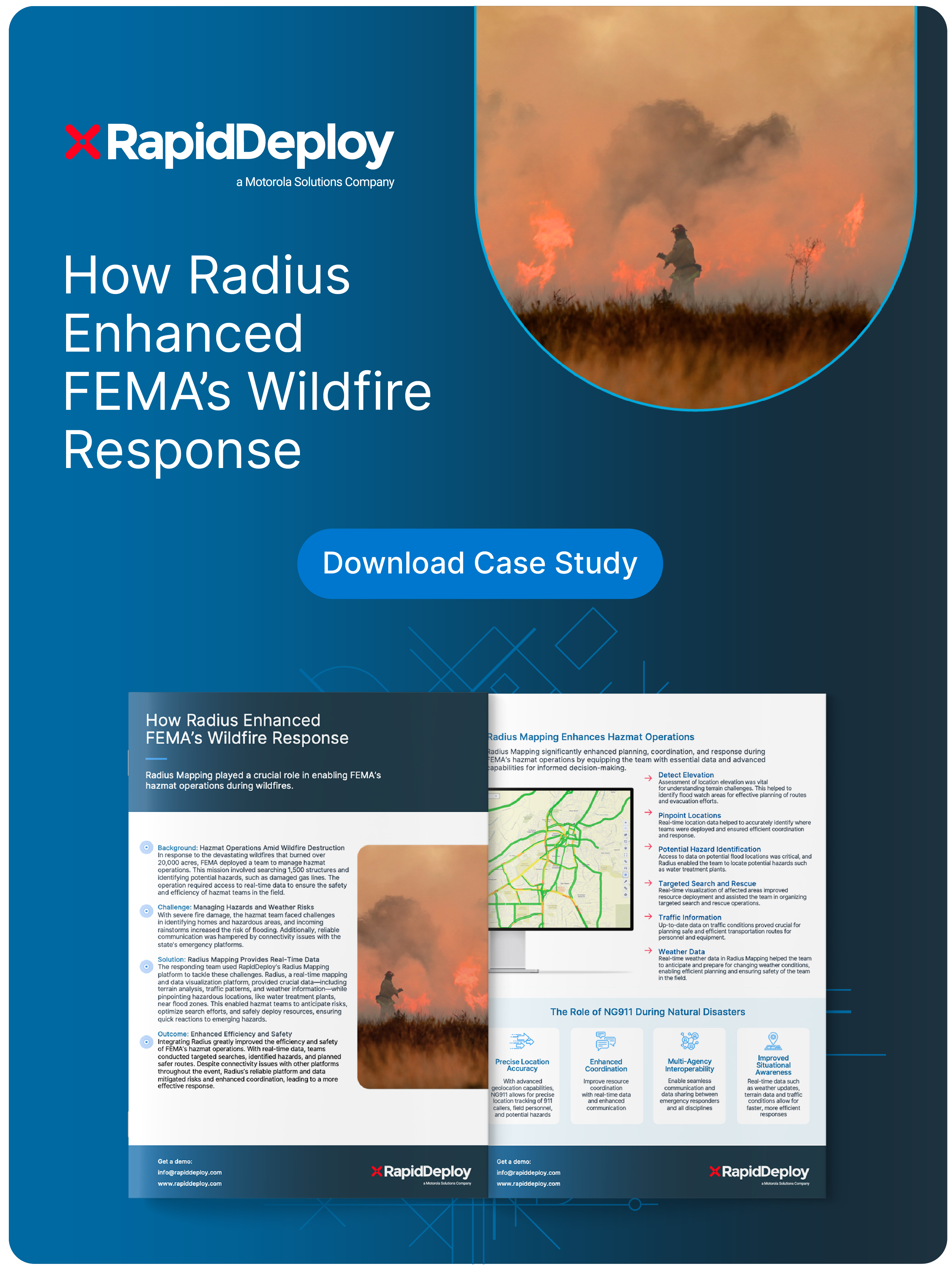
In times of crisis, having the right tools and data at your fingertips can be the difference between success and disaster. This case study explores how RapidDeploy's Radius Mapping platform empowered FEMA’s hazmat teams during a devastating wildfire, enhancing their efficiency and safety in the field.
By leveraging real-time terrain data, traffic patterns, and weather insights, FEMA’s teams were able to mitigate risks, optimize search efforts, and ensure a swift and effective response to emerging hazards.
Real-Time Data.
Ensure the safety and efficiency of hazmat teams in the field by using data to identify safety issues.
Safely Deploy Resources.
Pinpoint hazardous locations during emergencies to anticipate risks and optimize search efforts.
Enhance Efficiency.
Empower responders with shared, actionable data to mitigate risk and enhance coordination.
The benefits of a Connected First Responder are profound: