Download Your Guide to Advancing Emergency Response with GIS
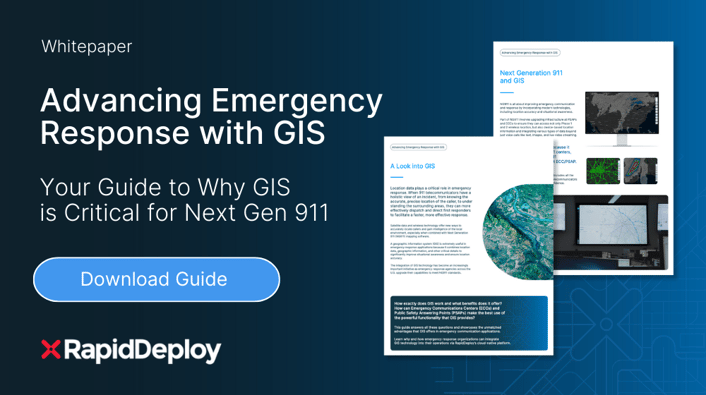
The integration of geographic information system (GIS) technology has become an increasingly important initiative as emergency response agencies upgrade their capabilities to meet Next Gen 911 (NG911) standards.
RapidDeploy incorporates multiple GIS datasets into a single pane of glass, giving first responders in the call center, and in the field, detailed insight into the caller’s location and local environment—all in one place.
Download RapidDeploy’s GIS guide to explore:
- Geo-based datasets
- Life-saving benefits of local, up-to-date geographic information
- Diversified NG911 partners
- GIS initiatives supported by NG911 funding
- Advancements in location with Z-axis, 3D & indoor floor plans
This guide showcases the unmatched advantages that GIS offers in emergency communication applications.
Learn why and how 911 agencies can integrate GIS technology into their operations via RapidDeploy’s cloud-native platform.